A39 Watersmeet, Exmoor
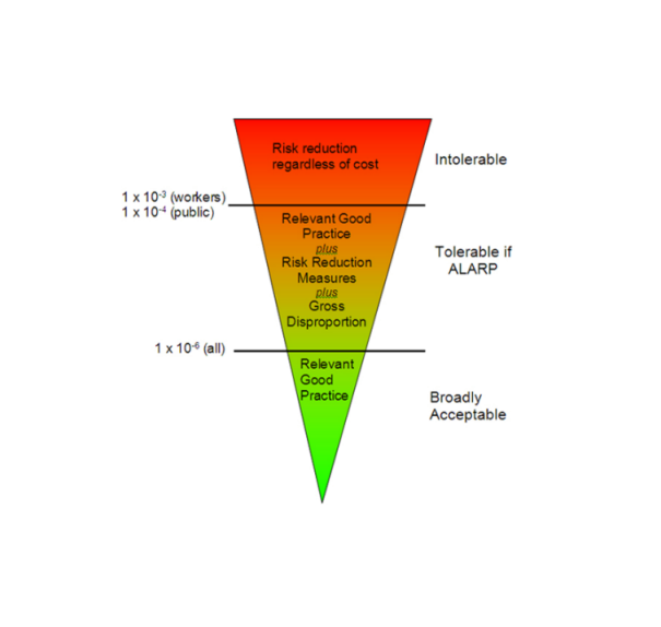
Red Rock uses statistical risk assessment techniques to ascertain the necessity and proportionality of any slope stabilisation measures to the level of instability risk.
Such techniques are particularly useful to justify the need for stabilisation or on-going slope management.
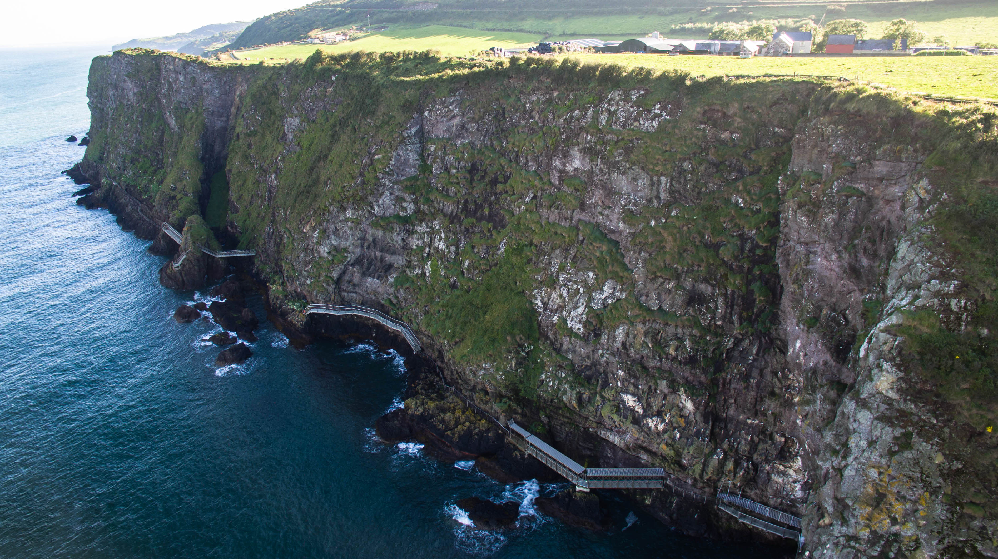
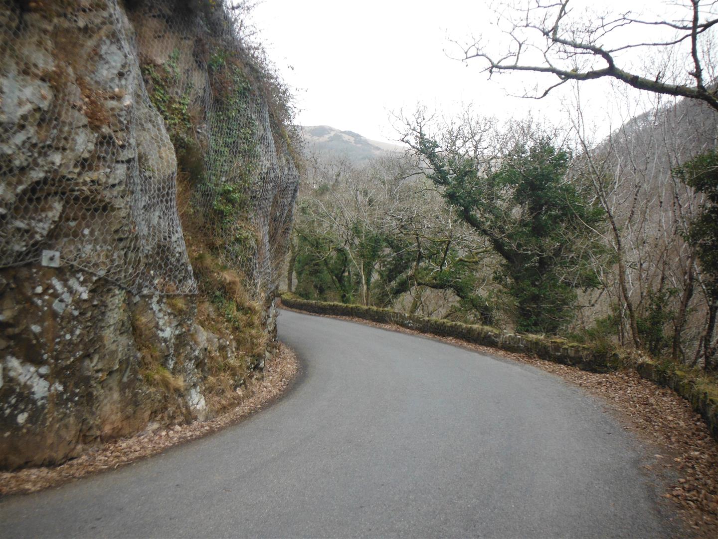
Red Rock have worked closely with the National Trust to establish the scope and scale of necessary works at two high profile sites. Following rockfalls onto a 3km section of the A39 Watersmeet Road in Exmouth National Park, Red Rock were commissioned by the National Trust to assess the rockfall risk to road users. We were asked “ how dangerous is this road?”
As individual analysis of over 200 rock outcrops was impractical, Red Rock focused on a statistical assessment of the frequency, size and location of rockfalls along the road, as well as an assessment of traffic usage and lines of sight. Following HSE principles of risk management, we quantified the risk to road users and developed an overall strategy to manage the rockfall risk.
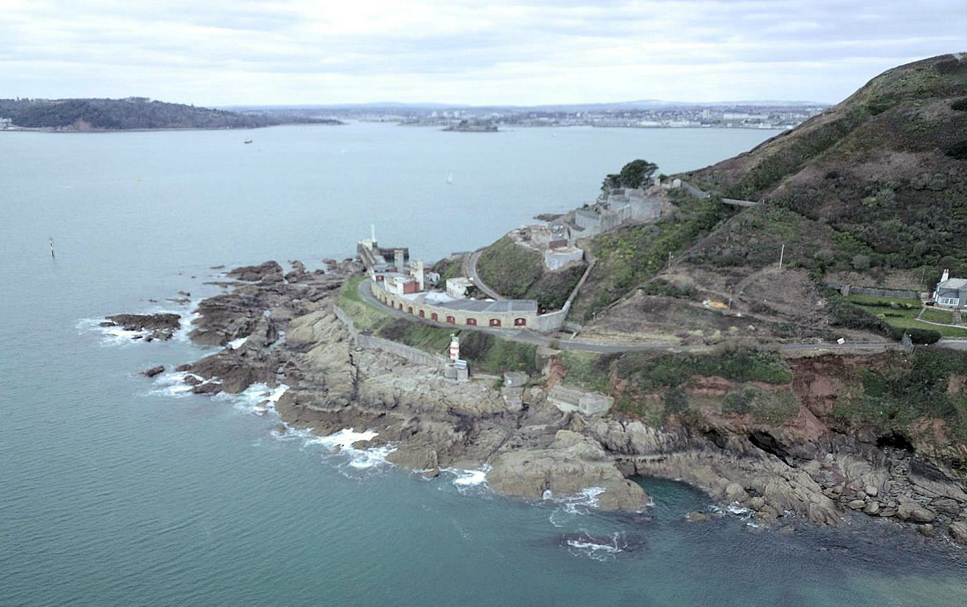
At St. Michael's Mount for example, the prominent rock slopes provide part of the castle's attraction, but rockfalls present a potential risk to the site users. Red Rock developed a risk assessment strategy with the Mount’s administration team to accord with the sites historical status, which included localised stabilisation by rock anchoring, monitoring and vegetation management.